
Bwendi
A geo-economic reasoning layer for any global coordinate

Details
- Follow on
- Target Audience
- Pricing
- Subscription from $200
Discovery signals
How AI and people discover Bwendi on PeerPush
- ChatGPT
- Perplexity
- Claude
- +2 other AI crawlers
Reads by these AI engines
Crawlers behind these engines read this listing on PeerPush.About Bwendi
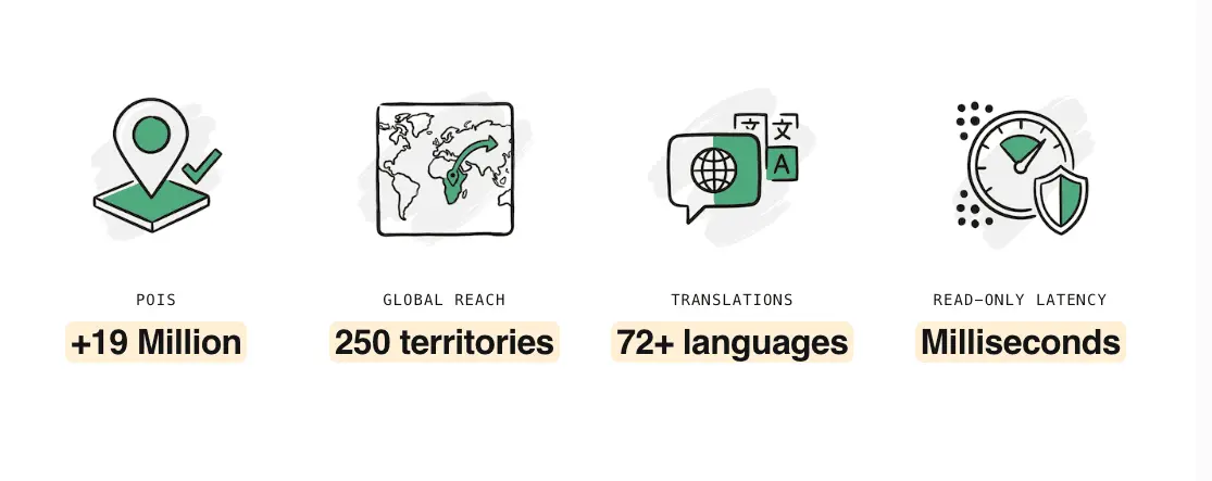
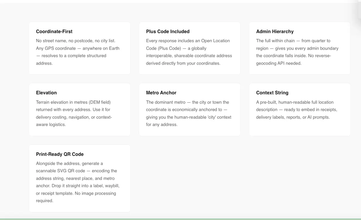
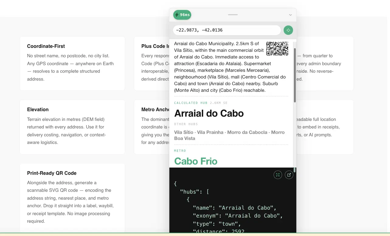
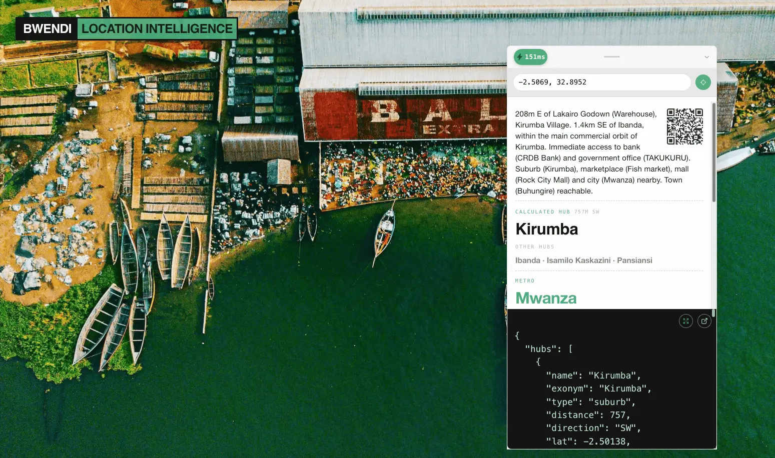
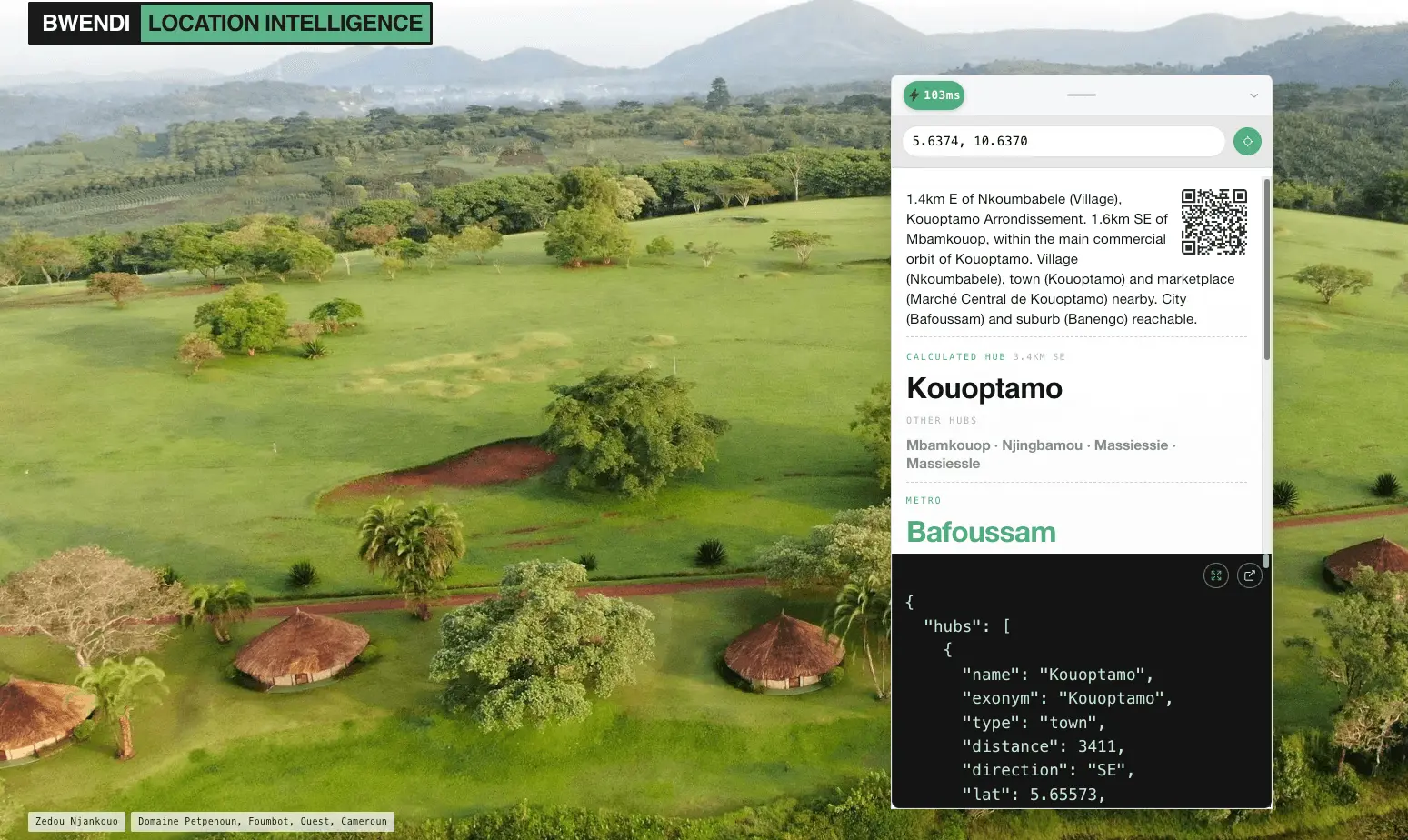
Bwendi provides a specialized reasoning layer for geographic data. You can resolve any coordinate into its specific market hub, regional anchors, economic tier, and administrative hierarchy. Through a single API call, this tool allows you to unlock the local economic context behind any location on Earth, helping you understand the commercial and structural significance of geographic points. Bwendi is a sovereign geospatial infrastructure API. Instead of just providing a set of coordinates, Bwendi provides a "Digital Identity for a Location." Our API resolves unmapped points into high-fidelity data nodes that global companies can actually use. It works 100% offline, integrates vision-AI to verify damage or structure types, and assigns a "Gravity Value" to every point to determine its economic importance.
Screenshots

Reviews (4)
Average 4.8 out of 5
Based on 4 reviews

I will rate this 5 star not because I created it, but because I know what went into making it and how much it is helping me for products like hungrybutnotstupid.com


Really solid product with great potential. Would recommend checking it out to anyone looking for this solution.
Comments (3)
100% offline functionality is critical for reliability. Does the offline mode use a local database that syncs periodically, or is it a full local copy?
@ashishdurgude local db with sync. A full copy would be more than 100gb! It is opt in and only for enterprise customers for now. Thanks for your interest!
@lodgestory thanks!
Thanks for having us!