
Terrascope
Site offlineEarth's vital signs, mapped in real-time.

Details
- Use Cases
- Target Audience
- Platforms
About Terrascope
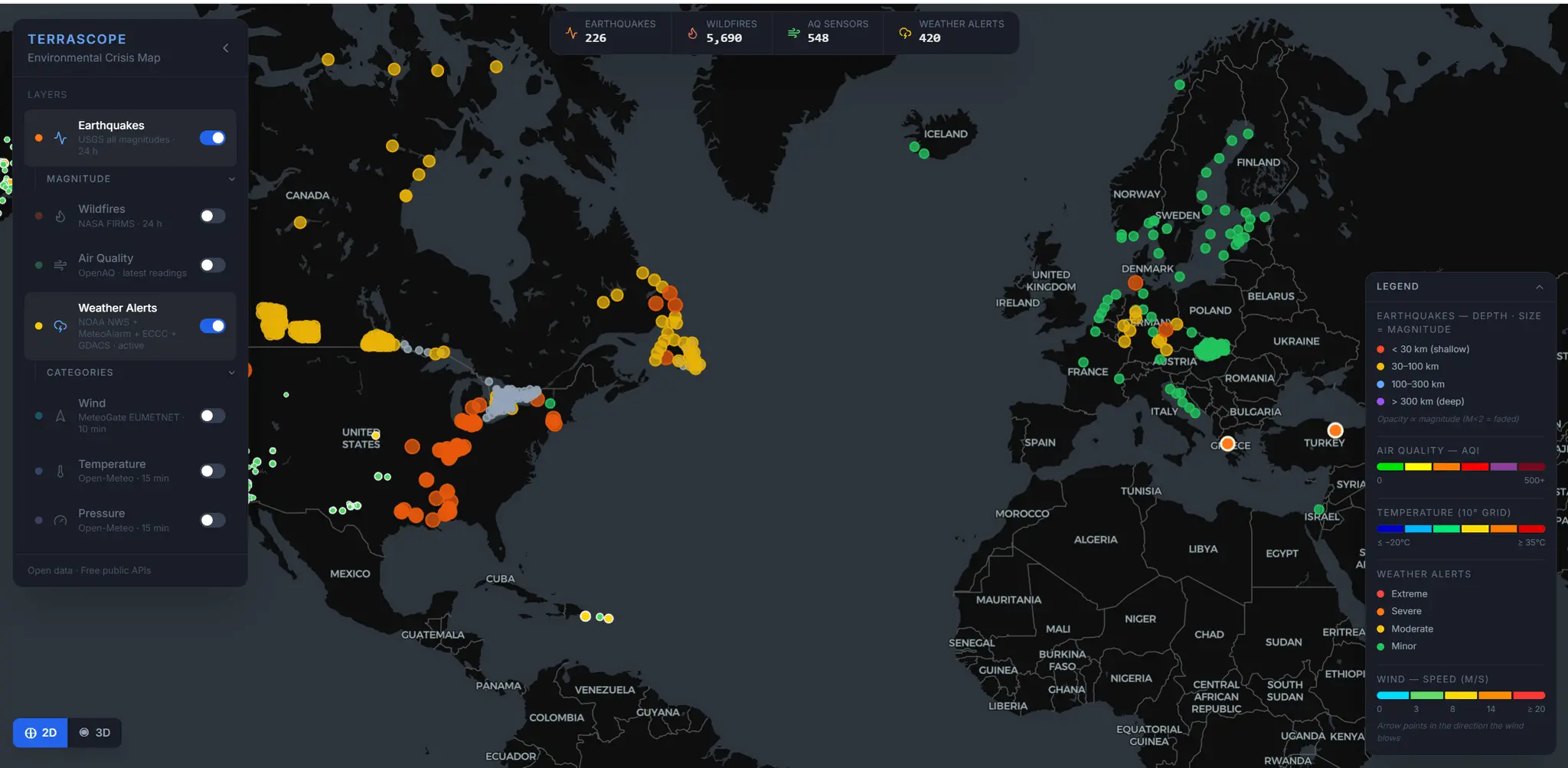
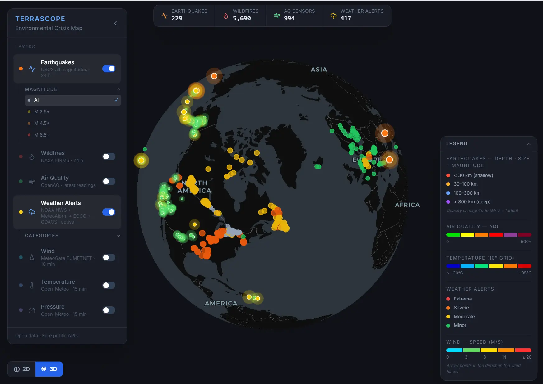
TerraScope is a high-performance 3D map that aggregates the world's most reliable environmental data into a single, unified dashboard. It translates complex, fragmented scientific feeds into a beautiful, interactive, and real-time visualization of our planet. Real-Time Crisis Tracking: Instantly visualize active wildfires (via NASA satellites), earthquakes (USGS), and severe weather alerts (NOAA, MeteoAlarm, GDACS) the moment they are reported. Atmospheric Context: Understand why extreme weather is happening. Overlay live wind particle animations and atmospheric pressure isobars to see storms forming and moving across the globe. Smart Data Layering: Seamlessly toggle between base maps (Temperature, Air Quality, Pressure) and interactive overlays (Wind, Fires, Alerts) without visual clutter.
Screenshots
Reviews (0)
No reviews yet. Be the first to rate this product!
Comments (1)
Looks really well thought and promising @damienbalasse. Dropping a follow to keep up with the updates. See you around!